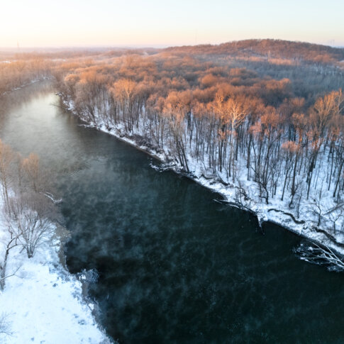
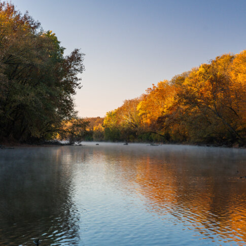
I was recently asked who owned the White River in Indianapolis/Marion County. The river, at least the riverbed and shoreline up to an invisible line called the “ordinary high watermark,” is “owned” by the people of Indiana, for whom the State of Indiana holds the river in trust. But what they were really asking is who owns the land along the river. The riverfront.
Turns out this answer isn’t as easy to come by as I was expecting and so I did some computer mapping analysis to get some estimates. Why isn’t it easy? Why can’t you just add up the shoreline? (TL;DR-the shoreline, property line, and river center line all have different lengths!) Well, for one, I’m using computer mapping and the shoreline layer includes all the nooks and crannies of the shore. Simply adding those up doesn’t really reflect what most people would think of as the length of a shore (say you have a ten foot stretch of river but the shoreline moves in five feet, down ten feet, and then back five feet, giving you 5+10+5 or 20 feet of actual shore length). Also, property lines are all over the place. Most do not actually touch the shoreline. Some, mostly in the southern part of the county, actually go through the river and at one time likely reflected the shore or center of the river but because it has meandered has meant the property actually now encompasses both sides of the river. And then there is public right-of-way, which in Indy’s system is everything that isn’t a property. So it’s a void without any shape to calculate.

Anyway, to try to get at what most people would consider a stretch of river, I extended property lines at right angles to the smooth centerline of the river to chop that line into segments that I could then measure. I included right-of-way, and if a street came between the river and a private property, I considered the street as riverfront, not the private property. And I ignored land inside of levees adjacent to the river, which technically is usually under DPW’s authority but I ignored because of the vague high watermark issue noted above. It’s not perfect, particularly where the river has sharp bends that skews my right-angle segmenting, but it’s the best I could come up with rather quickly.
Before I get into what I found, a few important notes.
- This analysis is just for Marion County.
- Property ownership changes frequently, and this data is current as of April 2022 and comes from public records.
- All of the land along the river was once owned by the Lenape people, who settled in Central Indiana as they were forcibly pushed westward from what is today New Jersey into northeastern Oklahoma. And it was inhabited by countless other indigenous peoples in the centuries prior to their arrival.
- Ownership and inhabitants aren’t the same thing, and I’m not just talking about people who rent/lease property to live in or do business on properties along the river. For most of modern history, up to this day, the riverbanks have been home to informal settlements, shantytowns, and homeless camps, and their occupancy of the riverfront is as important to understand as the legal ownership that is the subject of this post.
Back to the question. Who owns the riverfront? There are 395 different owners in total on both sides of the river. The largest is the Department of Public Works with 9.43 miles of river (all these numbers include measurements of both sides of the river), largely because Indy was blessed with the Kessler Parks and Boulevards System that preserved so much of the riverfront in Center Township as publicly owned. This is followed by IndyParks with 7.75 miles of shore, and then Citizens Energy Group with almost 5 miles, largely attributed to their purchase of the city’s wastewater treatment facilities. The first true private landowner is American Aggregates (gravel quarry) with 2.84 miles. The “City” with no department listed comes in next with 1.93 miles, followed by non-profit Central Indiana Land Trust, another aggregate company, Newfields, White River State Park, INDOT, and Lilly. The smallest you ask? A Mr. Hutchinson lays claim to just under nine feet! All of these measurements are approximates and shouldn’t be used for anything other than entertainment…I’m not a surveyor.
| Property Owner | Riverfront (Miles) |
|---|---|
| INDY DPW | 9.43 |
| INDY PARKS | 7.75 |
| CITIZENS ENERGY GROUP | 4.94 |
| AMERICAN AGGREGATES CORP | 2.84 |
| CITY OF INDIANAPOLIS | 1.93 |
| CENTRAL INDIANA LAND TRUST INC | 1.88 |
| HANSON AGGREGATES,MIDWEST INC | 1.75 |
| INDPLS MUSEUM OF ART | 1.11 |
| WHITE RIVER STATE PARK DEVELOPMENT COMMISSION | 1.10 |
| INDOT | 1.08 |
| ELI LILLY & CO | 1.08 |
| WICKER AGGREGATE LEASING LLC | 0.95 |
| BEX FARMS INC | 0.92 |
| CD REALTY LLC | 0.87 |
| INDPLS POWER & LIGHT CO | 0.87 |
The river is largely owned in-state with 88% of shoreline, or about 47 miles with ownership where the property tax bill is mailed to an Indiana address. The largest out-of-state landowner is Hanson Aggregates, who operate quarries on the south side of the city, with 1.75 miles.

Exempt uses (meaning they do not pay property taxes, so things like parks and streets and non-profit owned land) account for the most shoreline, with almost 20 miles, or 37% of the total. Coming in second are residential uses including houses and apartments, with almost 14 miles or 26%. Industrial users account for 7.3 miles (14%), commercial users for 5.6 (10%), agriculture for 4 miles (7%), and utilities for 3.5 miles (6%).